Background
The City Scanning Group of the MIT Computer Graphics Group is working
on a system to automatically create 3D models of built environments
from large datasets of images, each annotated with the absolute position
and absolute orientation of the camera. Also available will be data
on time of day, season of year and current weather conditions.
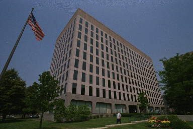
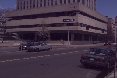
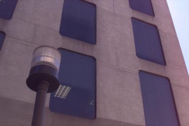
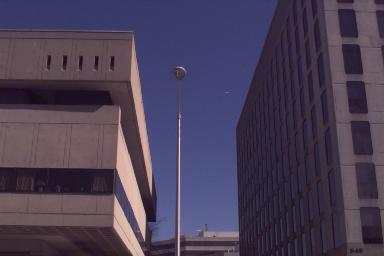
sample photos from the tech square dataset
From these pictures several different algorithms being developed by
the group extract portions of 3D data from the scene. My algorithm
will work to stitch together this varied data and fill in missing
portions of buildings as necessary.
City Scanning Project Page